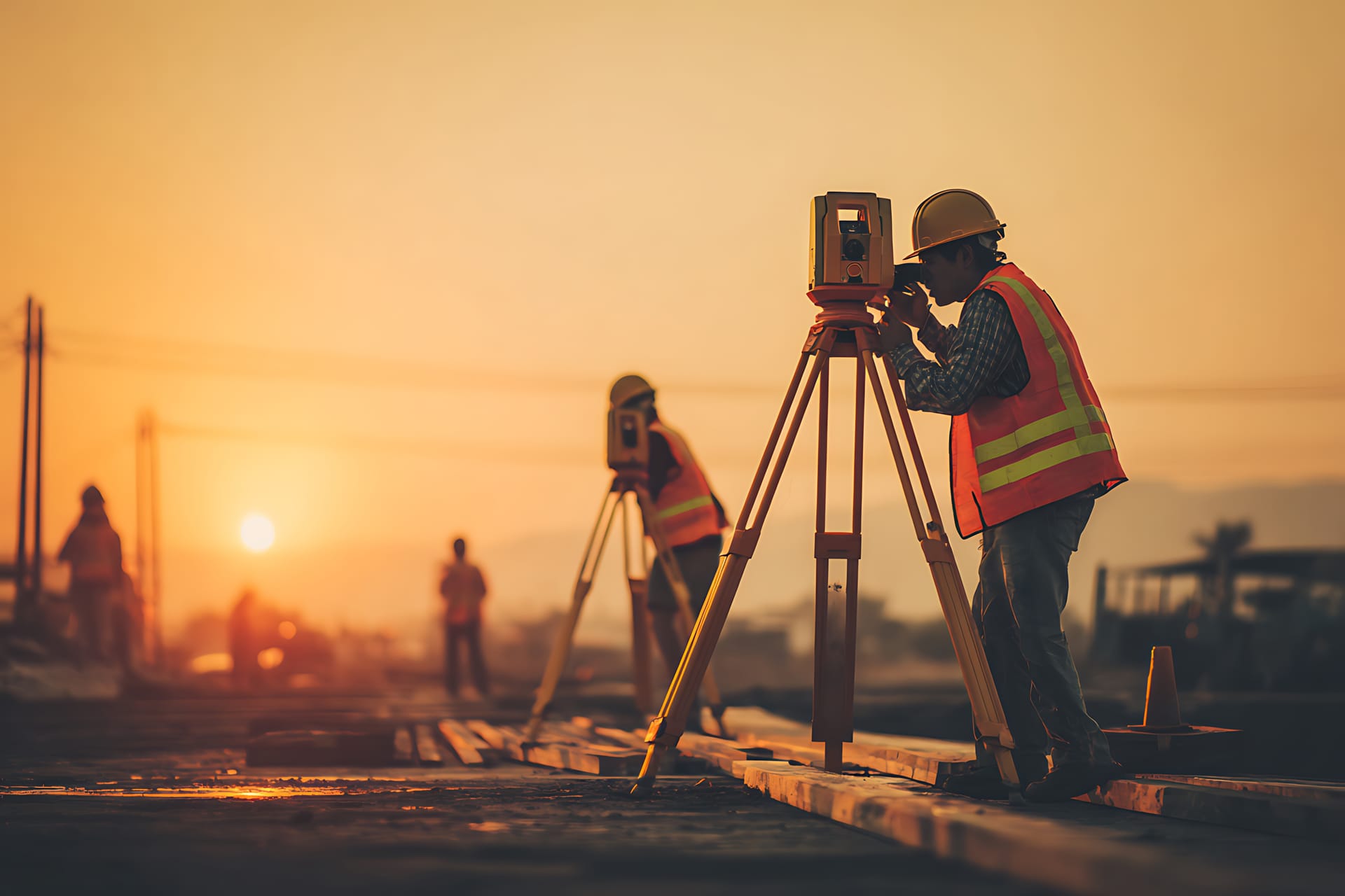
Every construction starts with precise measurement.
Geometrik ING provides complete geodetic solutions — from standard geodetic reports and cadastral work to complex engineering geodesy tasks and preparation of project documentation.
Geodetic services tailored to your needs
We provide a full range of geodetic services — from survey reports to engineering geodesy. Every project is treated with equal precision and professionalism.
Geodetic Reports
Establishment of cadastral parcels, registration of buildings and other structures, execution of court decisions on land ownership, recording of as-built roads, recording of communal infrastructure, and other reports for the cadastre and land registry.
Basemaps for Design
Horizontal and vertical as-built terrain surveys, geodetic situation of the building parcel, and preparation of basemaps for designing structures and spatial interventions.
Staking & Boundary Restoration
Precise staking of structures and boundary markers on site according to project documentation and location permits.
Building Legalization
Preparation of a geodetic as-built survey of illegally constructed buildings to obtain the legally required decision on as-built status.
Cadastral Parcel Identification
Linking actual possession to the cadastral plan — determining the position, shape, and size of a parcel.
Photogrammetry & Drone Surveying
Drone surveying collects large amounts of field data in a short time. We produce digital terrain models, digital orthophotos (DOF), and 3D point clouds.
Engineering Geodesy
Professional geodetic supervision during construction, as-built compliance checks, volume and cubature calculations for excavation and fill, and deformation and displacement monitoring.
Condominium Establishment
Preparation of condominium reports for establishing ownership of separate property units — apartments, commercial spaces, and garages.
Consulting & Advisory
Get in touch to see how we can optimize your strategy and workflow to maximize the value of your geospatial data.
Building Legalization — permanently open application deadline
Amendments to the Law on Illegally Built Structures (January 2026) allow legalization of buildings constructed before June 21, 2011. The application deadline is now permanently open. A geodetic as-built survey is a mandatory part of the documentation — we prepare it for you.
- Permanently open deadline — no more time restrictions for applications
- Geodetic as-built survey is a mandatory part of the documentation
- The process is fully digitalized via the ISPU system
Need a geodetic survey for legalization?
We prepare geodetic as-built surveys required for the legalization process. Contact us for a free consultation.
Experience and precision in every project
Geometrik ING d.o.o. is a licensed geodetic company based in Imotski, Croatia.
Founder and Owner
Ante Kukavica
M.Sc. Geodetic Engineering & Geoinformatics
Approval of the State Geodetic Administration
Authorization of the Croatian Chamber of Licensed Geodetic Engineers
We provide all types of geodetic services to legal and natural persons, local government units, and other companies. We successfully collaborate with lawyers, architects, and construction professionals.
We hold the approval of the State Geodetic Administration for performing professional geodetic work, as well as the authorization of the Croatian Chamber of Licensed Geodetic Engineers. Our core activities include cadastral work, engineering geodesy, preparation of project documentation for construction, and documentation for resolving property-legal relations.
- Cadastral work
- Engineering geodesy
- Project documentation for construction
- Documentation for property-legal relations
Our projects and fieldwork
See examples of our work — from geodetic measurements in the field to completed projects in Imotski and the surrounding area.
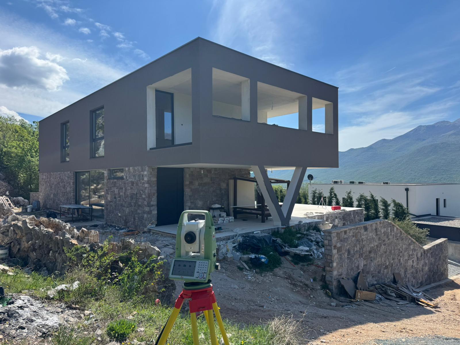
Staking a Building Under Construction
Construction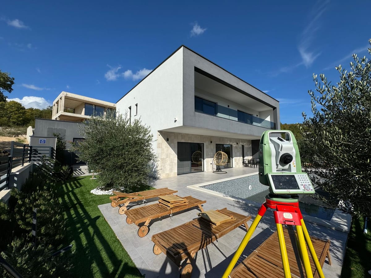
Field Surveying with Total Station
Measurements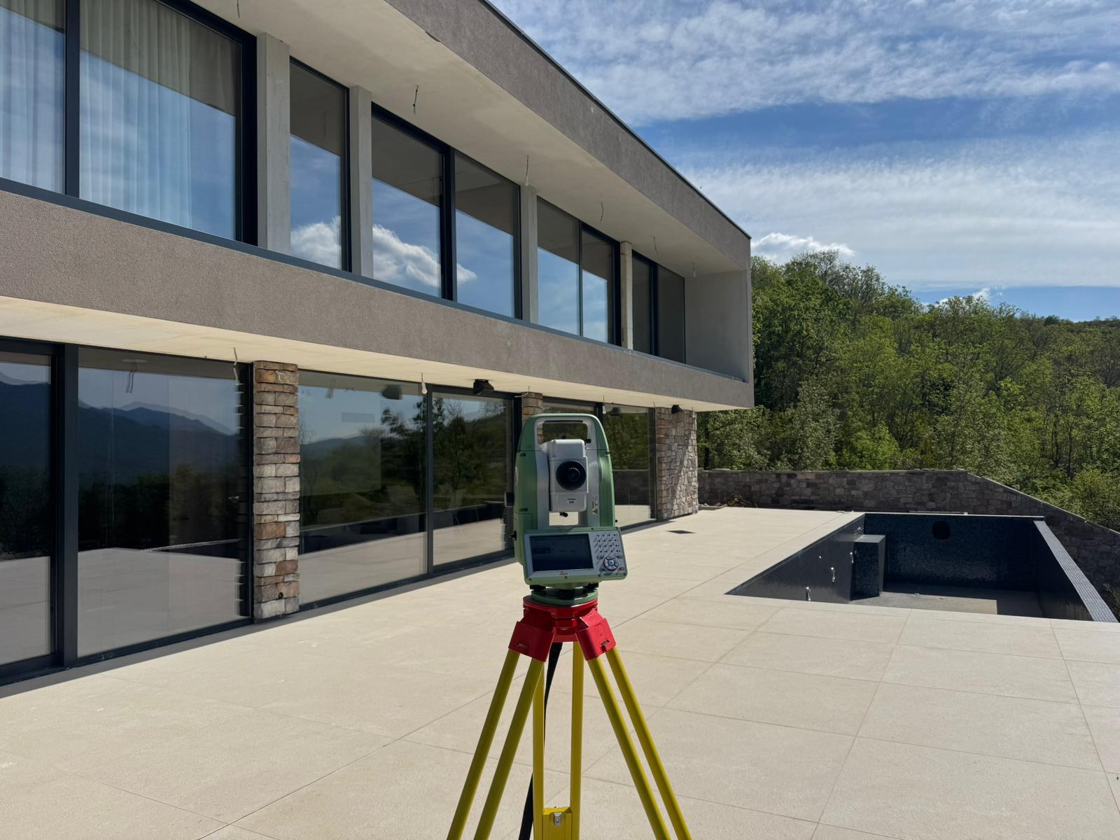
Total Station on Site
Equipment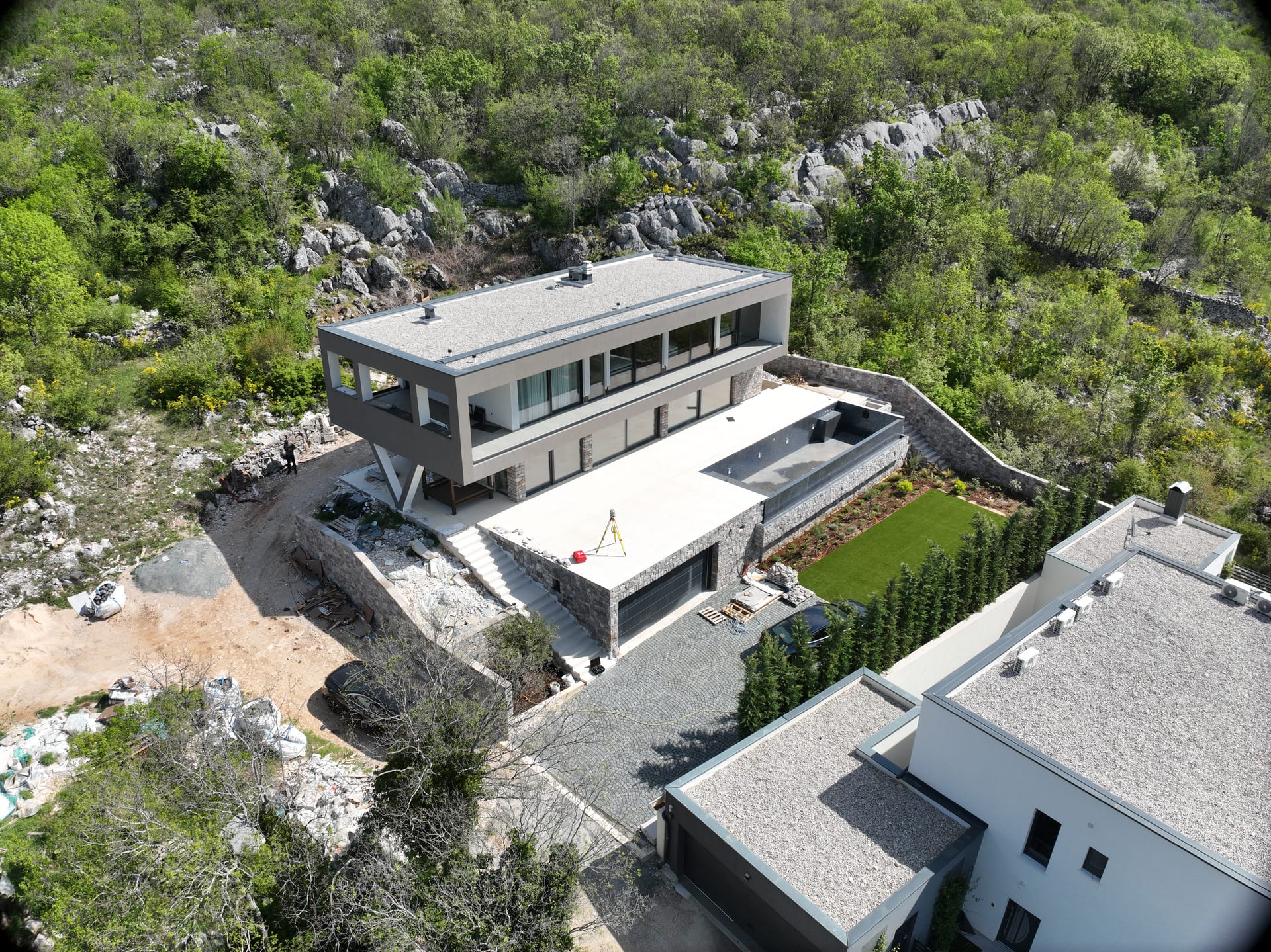
Aerial Parcel View
Drone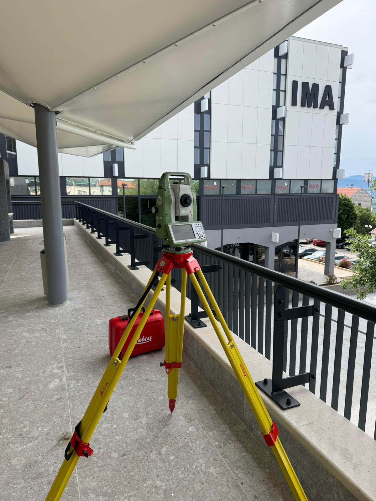
Field Geodetic Survey
Measurements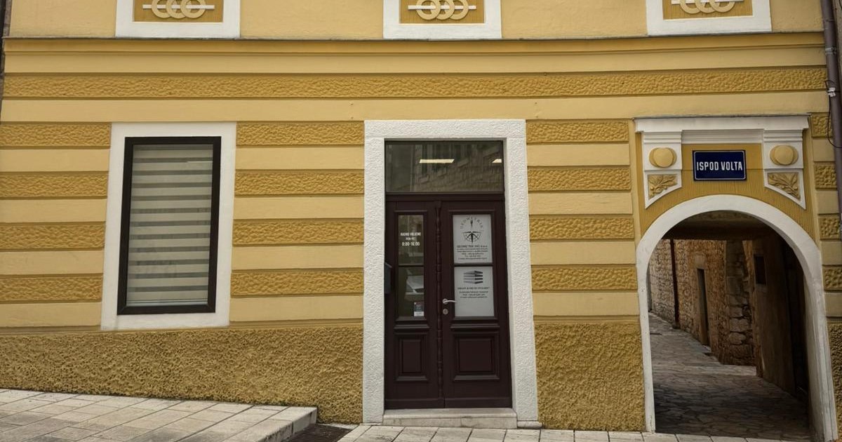
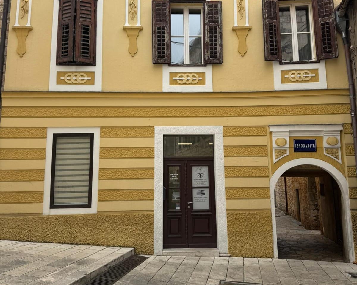
Our Office — Ispod volta, Imotski
ImotskiUseful portals and registries
Quick access to official portals used by property owners, surveyors, and construction professionals.
e-Cadastre
Joint information system of land registries and cadastre — parcels, ownership records, and official extracts.
Geoportal DGU
National geoportal with topographic maps, orthophoto imagery, and spatial data.
State Geodetic Administration
Official DGU website — regulations, forms, and information about geodetic activities.
ISPU — Spatial Planning
Spatial planning information system — spatial plans, location permits, and construction.
HKOIG
Croatian Chamber of Licensed Geodetic Engineers — registry of authorized surveyors.
Narodne novine
Official Gazette of the Republic of Croatia — laws, regulations, and notices on geodesy, construction, and spatial planning.
Get in touch with us
Have a question or need geodetic services? Get in touch — we'll be glad to help.
Founder and Owner
Ante Kukavica
M.Sc. Geodetic Engineering & Geoinformatics
Address
Ulica Ante Starčevića 1, 21260 Imotski, Croatia
Working Hours
Mon - Fri: 08:00 - 16:00